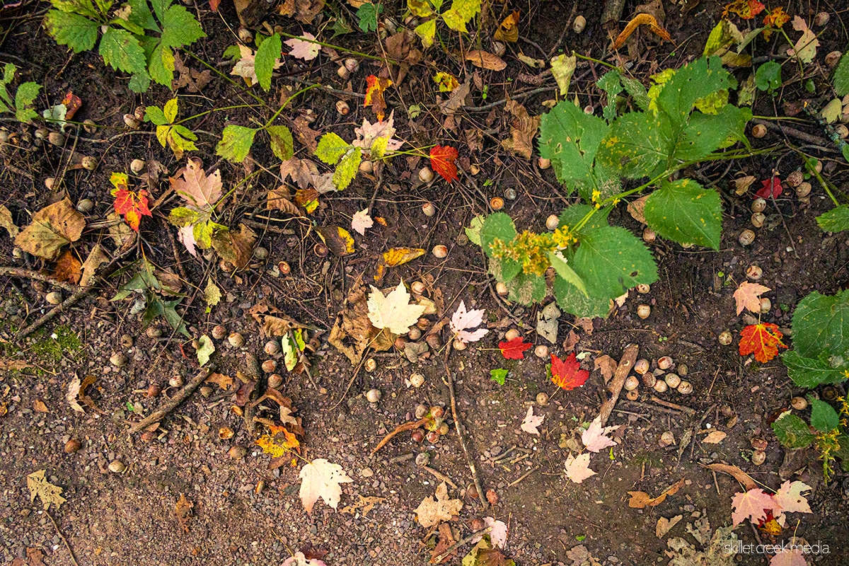
Overview: There are a lot of acorns falling around Devil’s Lake and the Baraboo Hills…

Two Boulders on the Johnson Moraine Trail Traveled 300 Miles to Get Here
If you’ve hiked the Johnson Moraine Trail north of Steinke Basin, you’ve probably walked right past two rocks that have no business being here.
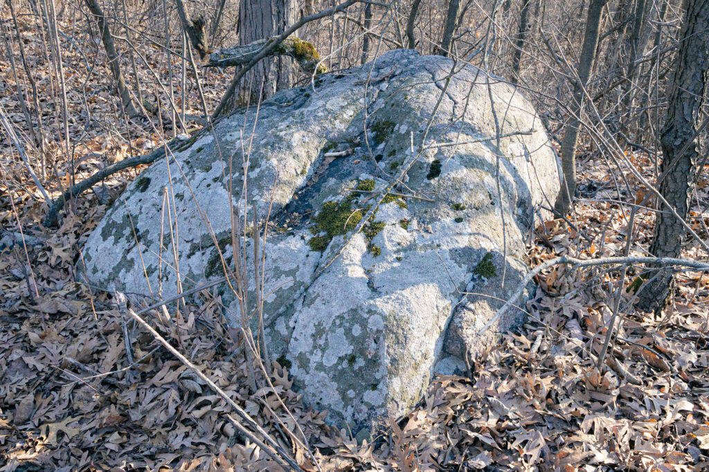
About 50 feet apart on the first ridge after crossing Highway DL, you’ll find a red rhyolite boulder on your left and a pale gray granite boulder on your right: different rocks, different origins, same story.
They’re called glacial erratics — boulders carried hundreds of miles by ancient glaciers and dropped where the ice finally melted. The first time these were pointed out to me was by Ken Lange, Devil’s Lake State Park’s first naturalist and author of Ancient Rocks and Vanished Glaciers: A Natural History of Devil’s Lake State Park, Wisconsin, among other regional publications. Once you know what you’re looking at, you can’t unsee them.
Why don’t they belong here?
The Baraboo Hills are quartzite and sandstone. Rhyolite and granite have no local source. When geologists find them sitting on a ridge together, they’re reading a calling card from somewhere else entirely.
The rhyolite is volcanic. Based on research by Attig and Clayton, published by the Wisconsin Geological and Natural History Survey, it’s believed to have originated near the eastern Lake Superior basin — roughly 300 miles north. The granite made a similar long-distance journey, carried by the same glacier.
How did they get here?
The Green Bay Lobe of the Laurentide Ice Sheet advanced into the Baraboo Hills area between roughly 18,000 and 14,000 years ago. As it moved, it picked up rock material from the landscape it crossed, including volcanic and granitic material from far to the north, and carried it south. When the glacier retreated, it dropped everything it was carrying. The erratics stayed where they landed.
These two landed on the Johnstown moraine, the ridge that marks the glacier’s furthest advance into the Baraboo Hills. They’ve been sitting there ever since, overlooking what was once a glacial lake, the basin we now call Steinke Basin.
You can see them in about five minutes.
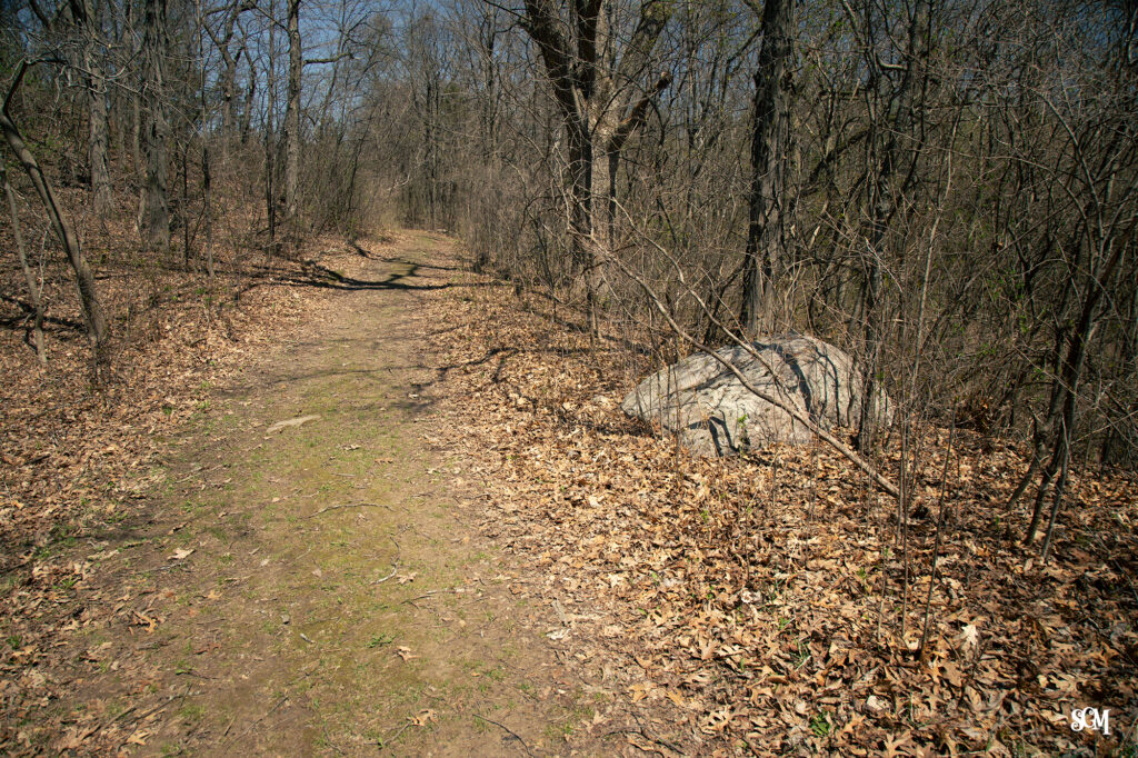
The Steinke Basin parking lot is located along Highway DL in the north-central part of Devil’s Lake State Park. The Johnson Moraine Trail heads north from the lot. The red rhyolite boulder appears on your left, the granite on your right, shortly after you climb the first ridge.
If you find this stuff interesting, there’s more where that came from. Our Discovery section covers the geology, natural history, and Ice Age science of Devil’s Lake State Park — including a deeper look at Did Glaciers Make Devil’s Lake?
Sources: Attig, J.W. and Clayton, Lee, 1990, Pleistocene geology of the Steinke Basin area of Devils Lake State Park; Attig, J.W., Clayton, Lee, Lange, K.I., and Maher, L.J., 1990, Ice Age geology of Devils Lake State Park, Wisconsin Geological and Natural History Educational Series 35.

For over 30 years, the Skillet Creek blog has focused on 3 main goals: to inspire you to visit and explore the Devil’s Lake region, to help you get the most out of your visit by sharing tips, events, and other helpful information. Lastly, to advocate for our environment & wildlife and talk about how we can keep our natural areas amazing now and into the future! That last goal can sometimes cause controversy, but it’s the only way we can accomplish the first two. – Derrick Mayoleth, Owner.
Related Posts