Why go? This decommissioned army ammunition plant is in the process of being restored and “rewilded”. The property also includes a section of the Great Sauk State Bike Trail. The SPRA has become a popular area for birding watching, biking, hiking & exploring historical points of interest.
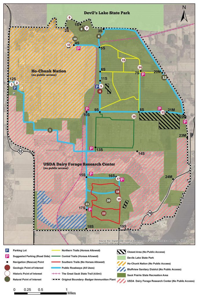
Description: The Sauk Prairie Recreation Area, located on the southern border of Devil’s Lake State Park and consists of the decommissioned 7,354-acre Badger Army Ammunition Plant. The property is divided between the USDA Dairy Forge, the Ho-Chunk Nation, and the Wisconsin Department of Natural Resources. About 3,400 acres are currently open to the public as the “Sauk Prairie Recreation Area”. The new SPRA has great potential for more bike trails, backcountry hiking, birdwatching, XC skiing, wildlife conservation, and more.
Winter Use: Access is difficult if there is snow on the ground as the roads are not maintained for winter driving.
Related & Informational Links
- Printable Guide & Trail Map (PDF)
- Sauk Prairie Recreation Area (WDNR)
- Sauk Prairie Conservation Alliance
- Historical Land Owners Map (PDF)
- Great Sauk Bike Trail
Photo Gallery
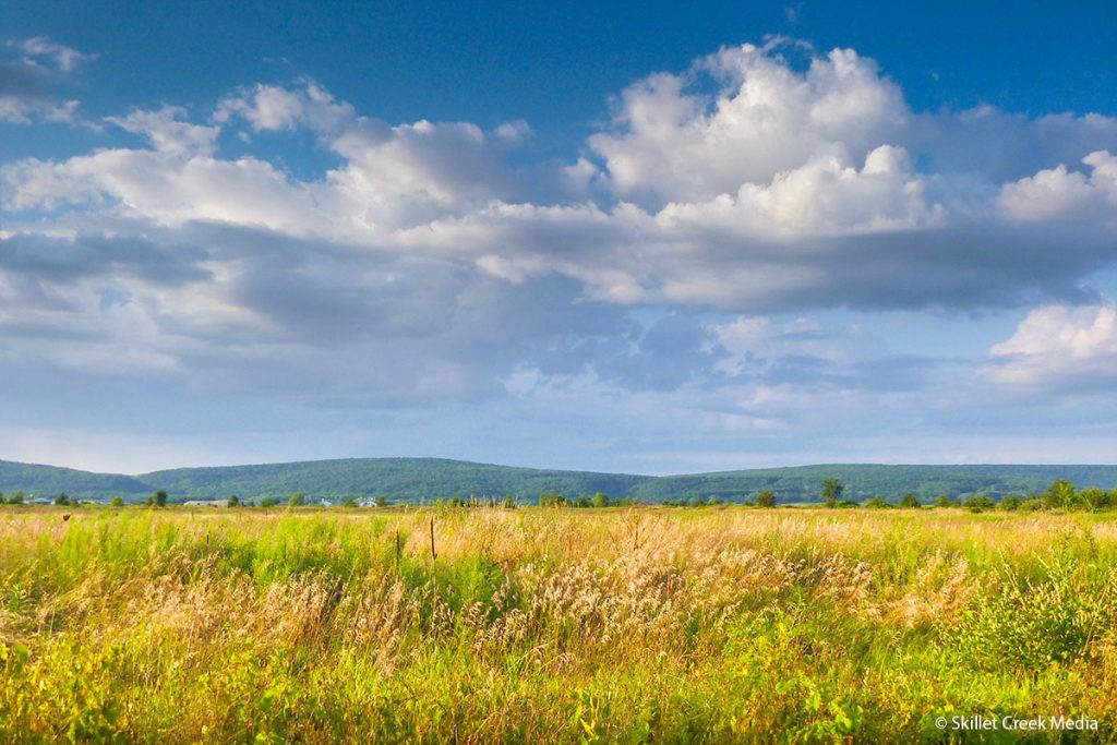
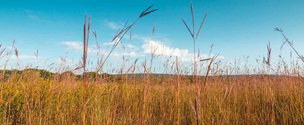
The Sauk Prairie 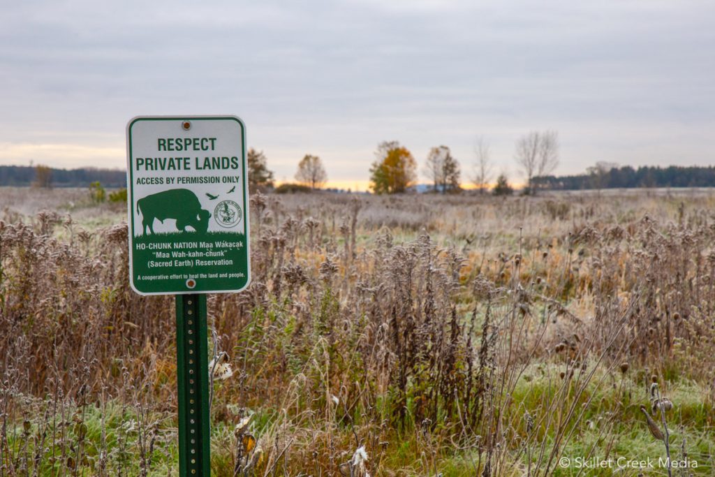
Ho-Chunk Property 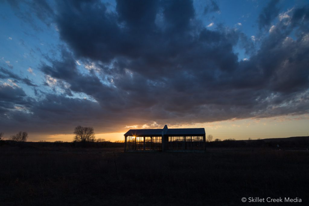
Sunset 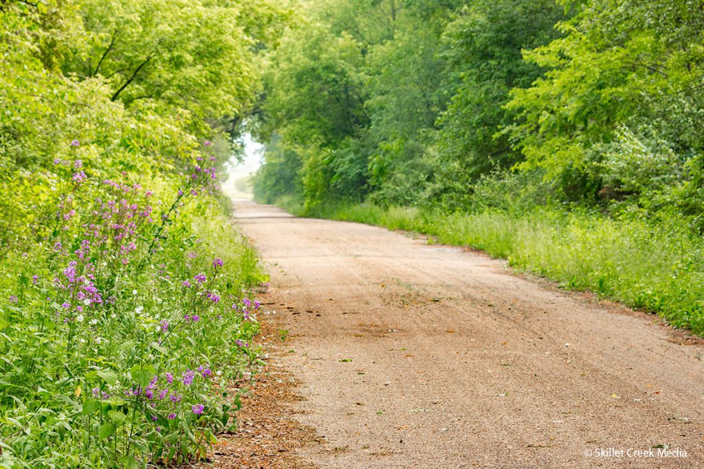
Access Road 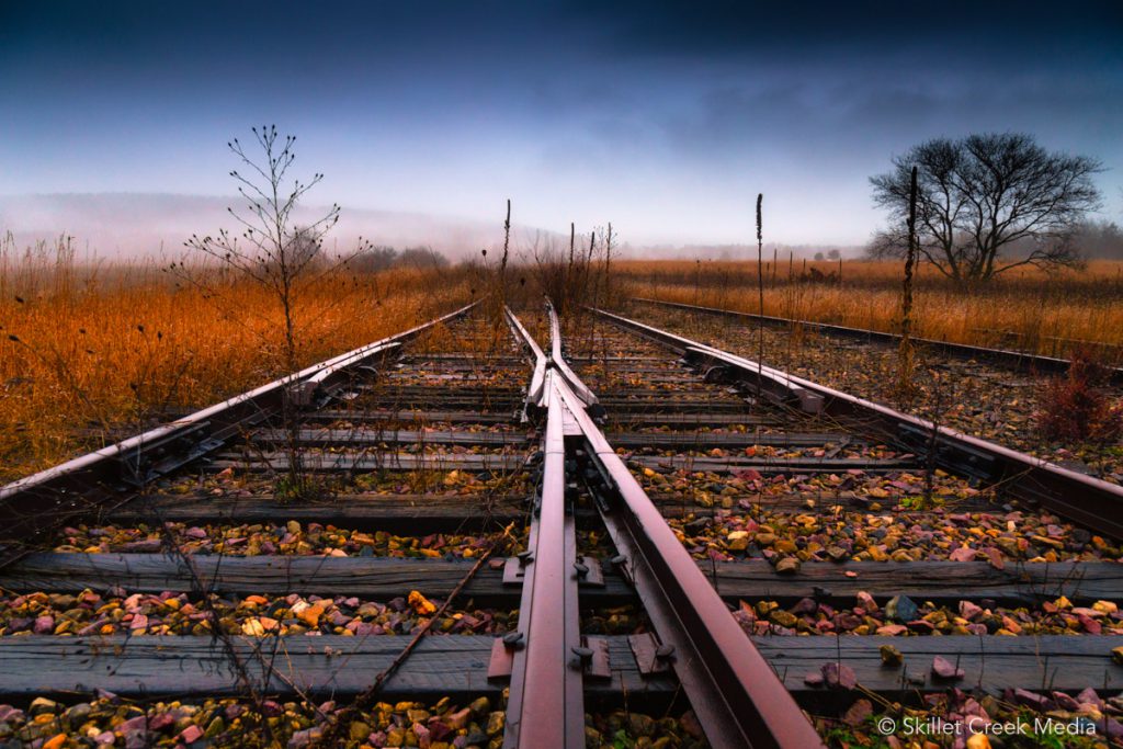
Railroad Tracks 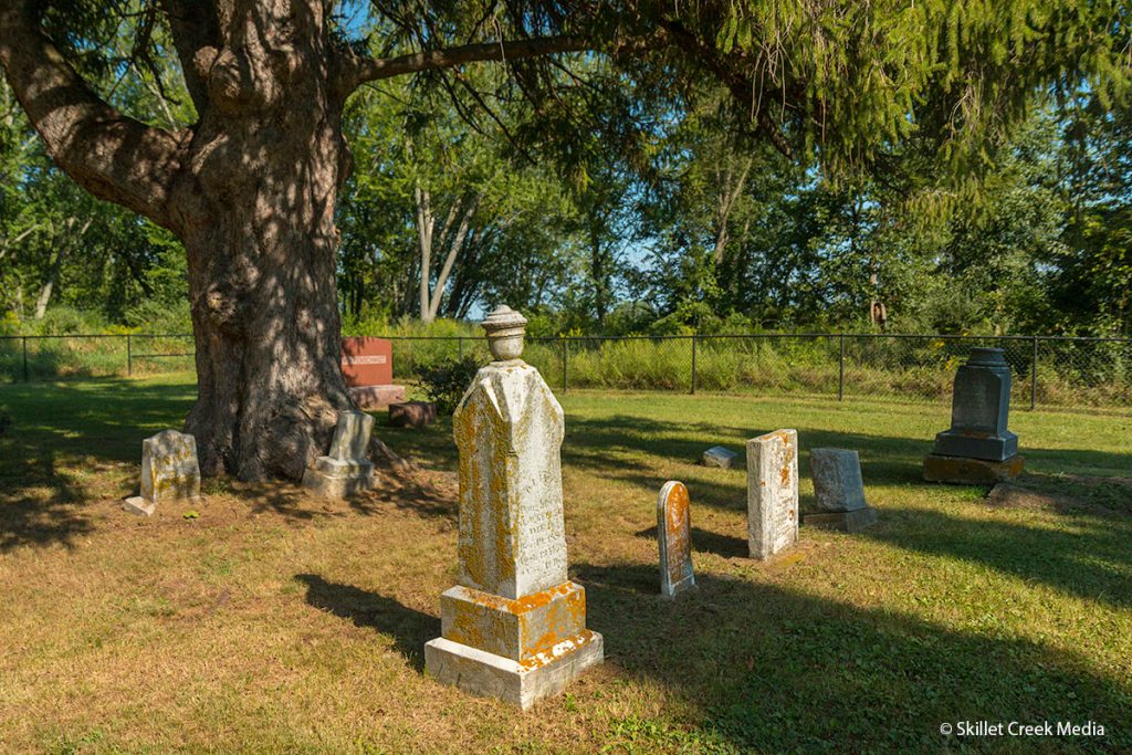
Thoelke Cemetery 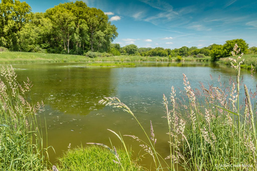
Small Pond 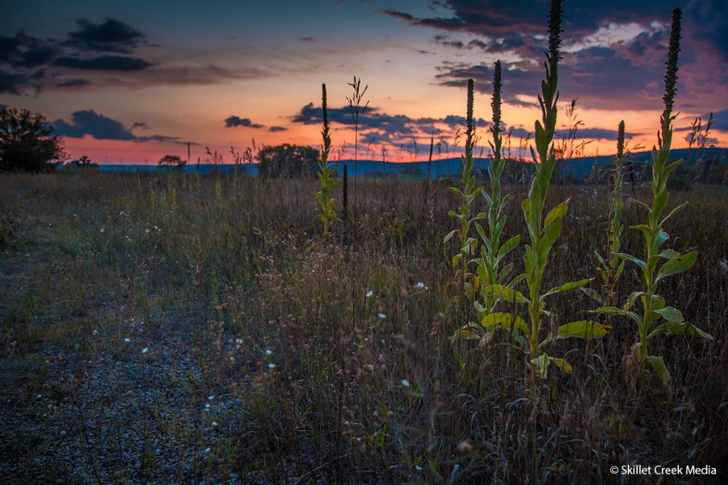
Sunset & Mullen
Google Map
Property Map