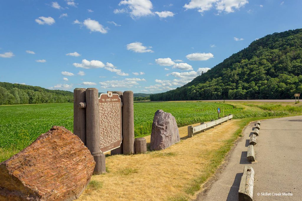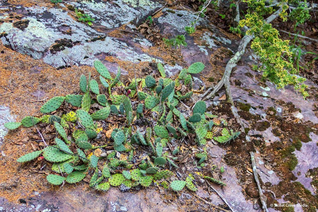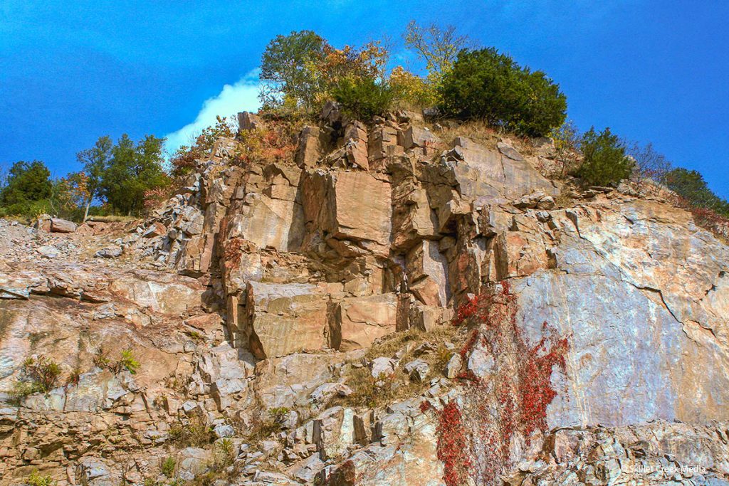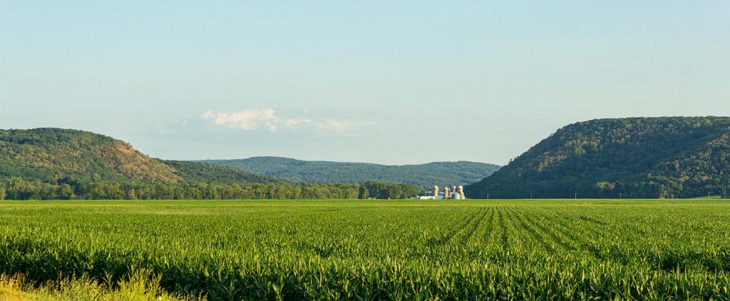
The Lower Narrows State Natural Area is located about 10 miles east of Baraboo just off Highway 33. About 900 feet wide with bluffs just over 200 feet high on each side, The Narrows is the “gateway” into the Baraboo hills range and where the Baraboo river escapes the valley on it’s way to the Wisconsin River near Portage, Wisconsin. The area supports several unique and rare plants including eastern prickly-pear cactus.
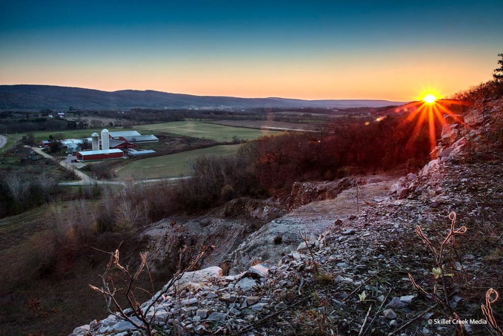
Sadly the Narrows shows the scars of an old quarry which once removed the unique purple Baraboo Quartzite. When the quarry was closed The Kraemer Company of Plain, WI., worked with Sauk County Planning and Zoning, the Sauk County UW Extension Office, as well as local school children and volunteers to reclaim part of the mine back to natural prairie. In 2006 the land was designated a State Natural Area.
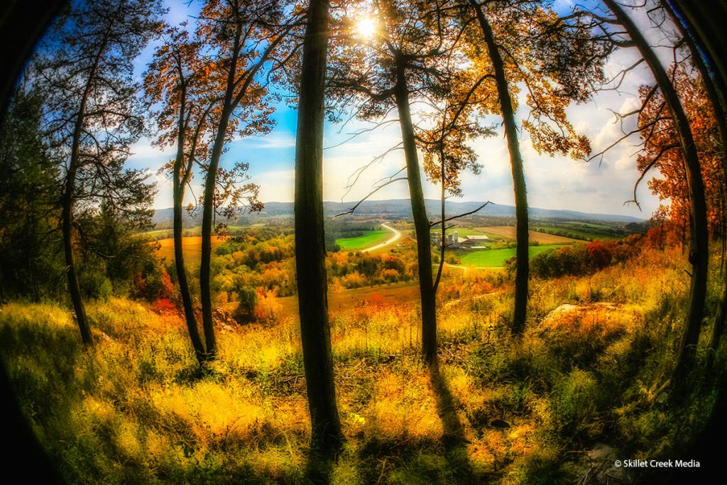
The Lower Narrows is not a “closed” area, however it is not set up for visitors either. There is a small parking area off Man Mound Road from which you can walk into the quarry area. Visitors should be cautious of falling rocks near the high rock walls. Adventurous types can find and follow deer trails to the top of the quarry. Although it is quite beautiful there are no managed trails and no railings along the top of the quarry, so be careful.
- Read more from the Department of Natural Resources

