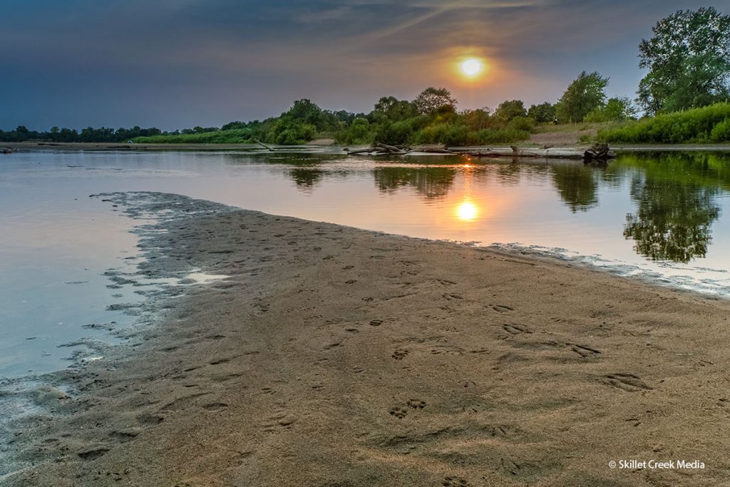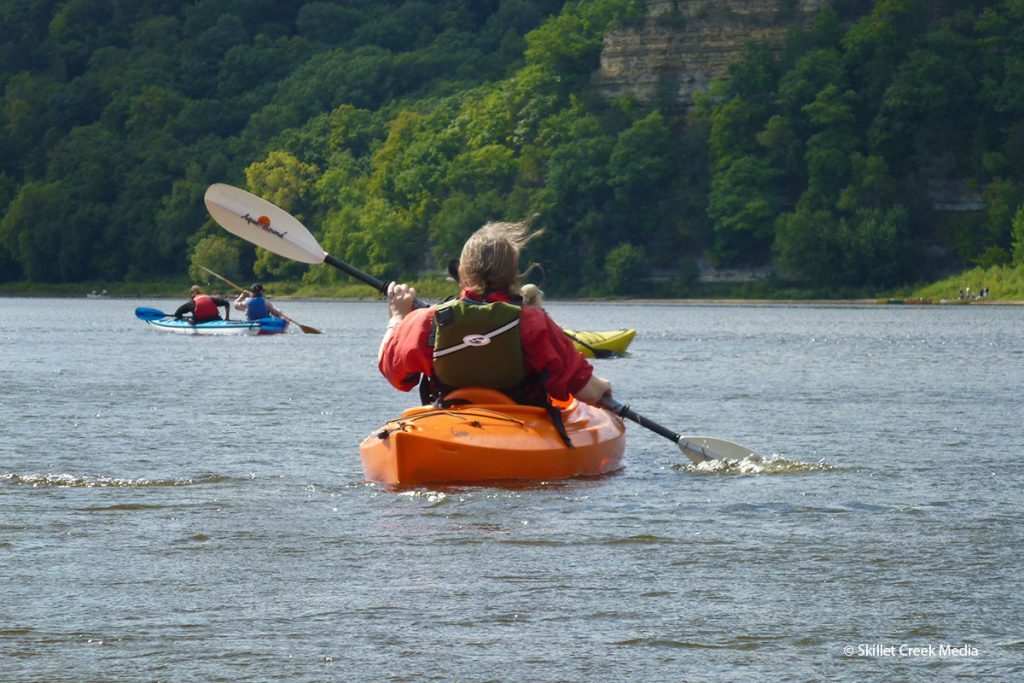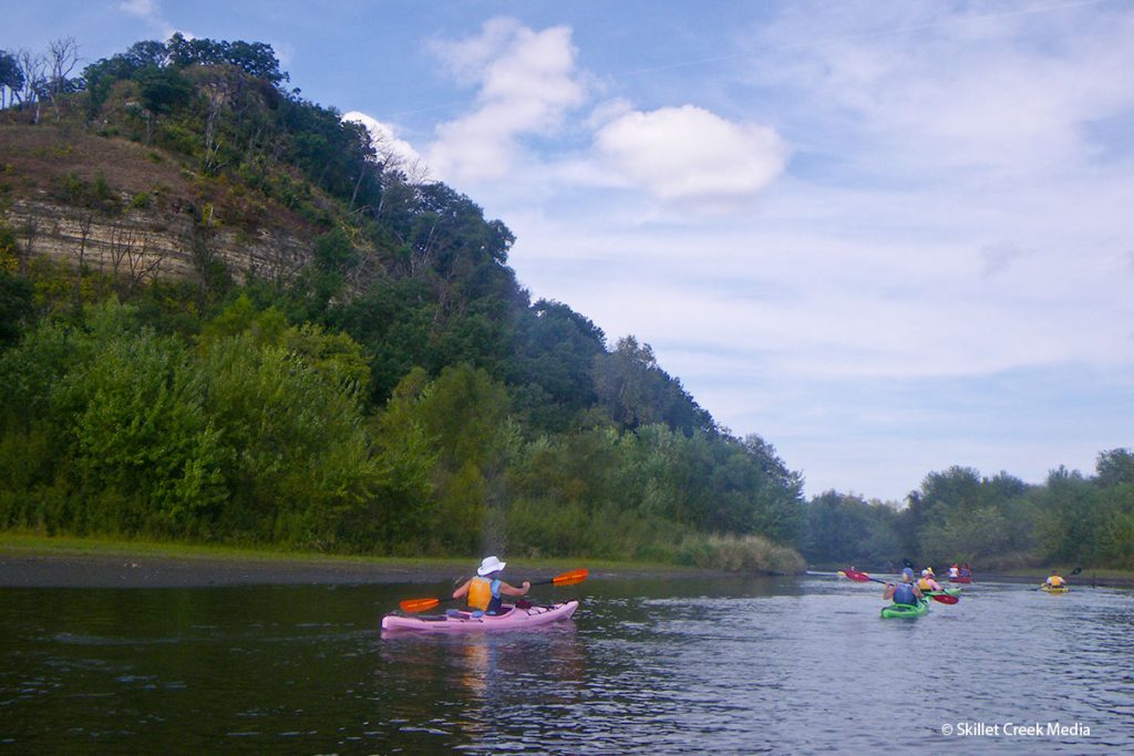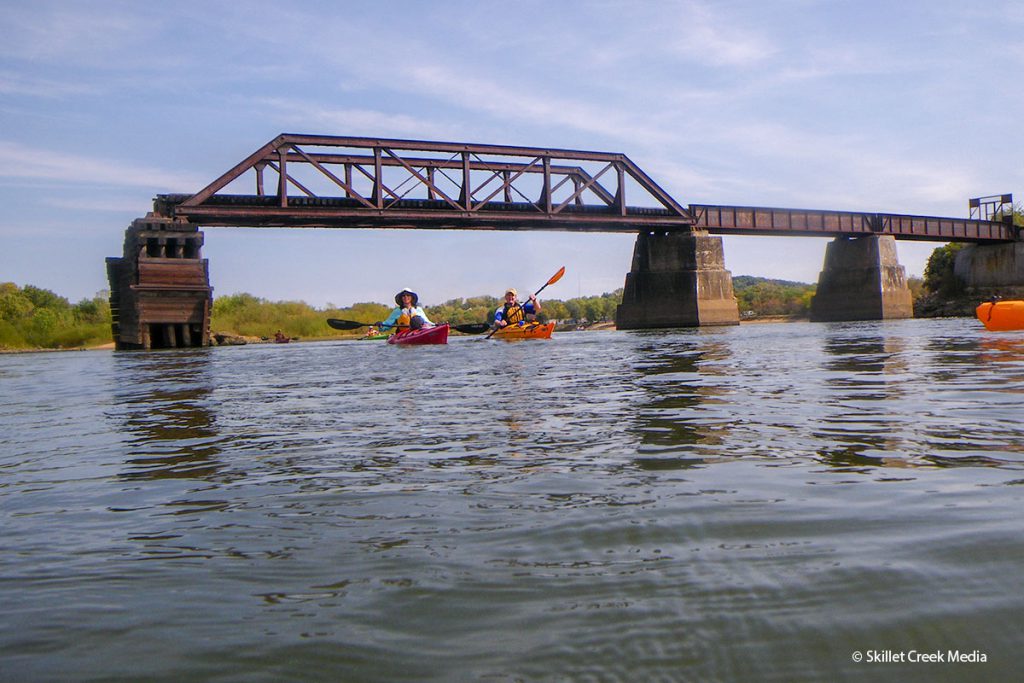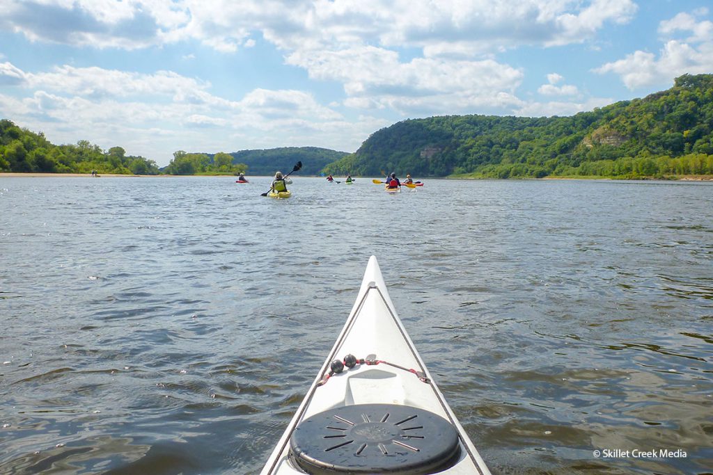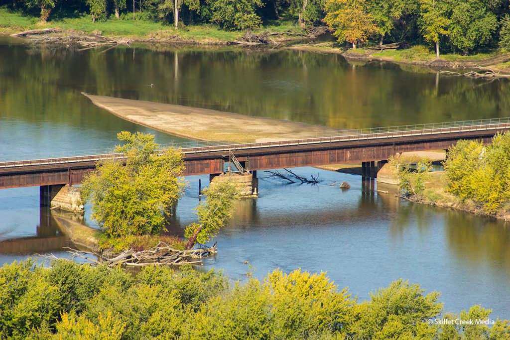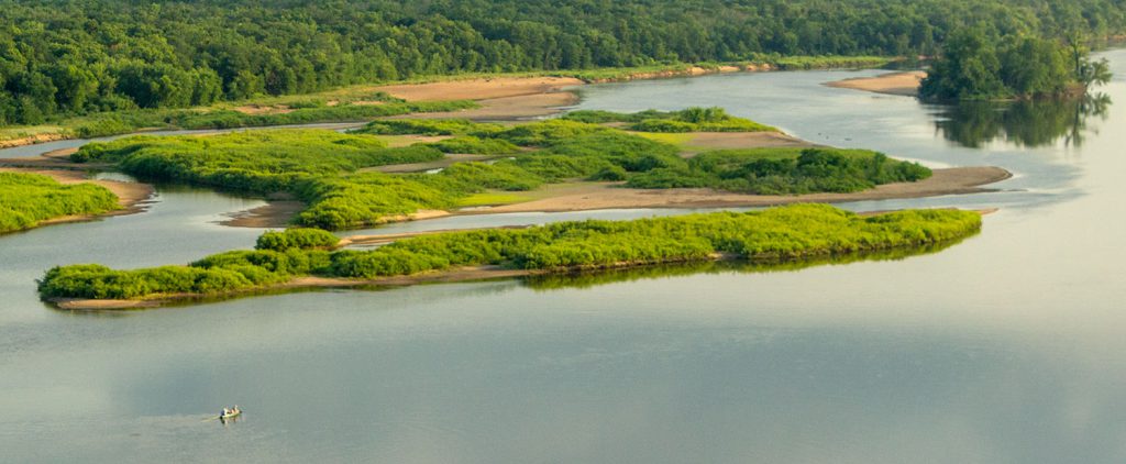
The Lower Wisconsin Riverway was created in 1989 to protect the last free-flowing 92 miles to the confluence of the Mississippi River for recreational purposes and to help protect natural wildlife habitats. The LWSR provides paddlers with an amazing nearly wild, natural flat-water experience. There are no rapids or dams from Sauk Prairie to the river’s confluence with the Mississippi River at Wyalusing State Park.
Along its path, the Lower Wisconsin Riverway is bordered by 95,000 acres of natural lands. 45,000 of those acres are state owned, natural areas, wildlife areas and state parks. We cannot overstate your wildlife viewing opportunities along the way. Bald eagles are common.
In general, most paddlers will be found in the first section from Sauk Prairie to Spring Green. Beyond the village of Spring Green things begin to really quiet down.
Outfitters and boat rentals are available near the LWSR.
More Information
- WSR Watertrail Map (PDF)
- LWSR Visitor Guide (PDF)
- Lower Wisconsin Riverway – Wisconsin DNR
- Lower Wisconsin Riverway Trails – Stay on the land!
- Lower Wisconsin State Riverway Board
- Lower Wisconsin State Riverway – Facebook

