Federal budget decisions are now having direct consequences on the ground here in Wisconsin, including…
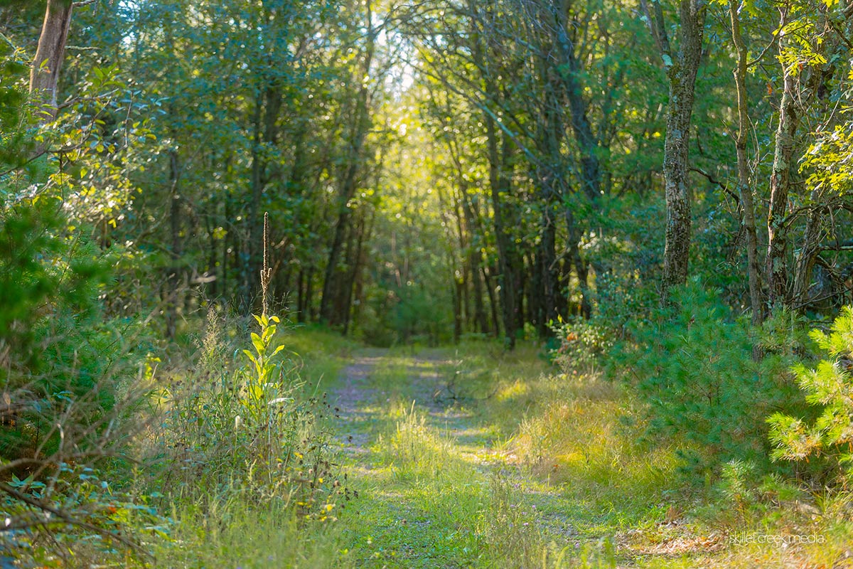
“Public access lands are here for all of us to enjoy,” the WDNR says, and they couldn’t be more right. For nature lovers who feel like they’ve “seen it all,” it might be time to expand your horizons beyond the familiar parks. There’s a whole world of natural areas, wildlife areas, and public hunting grounds just waiting to be explored. That said, these properties often lack amenities, and even a clear trail can be questionable! So, know your limits and abilities before taking them on.
The first step on this new adventure? Download a Public Lands Access Map. It’s like a treasure map, revealing landscapes you might never have known existed. But before you set out, make sure you understand what’s allowed or required at the property you wish to explore. Check online or read the signs at public land parking lots and trailheads. Here’s a little secret: most public lands in Wisconsin, regardless of their label, are open to a variety of activities. Hunting, bird watching, fishing, snowshoeing, hiking, photography, dog walking – you name it. Don’t let a title like “hunting grounds” put you off. (Maybe avoid the property during hunting season!)
With that in mind, let me invite you to put a big pin on your map marking the Dekorra Wildlife Area. Or is it the Dekorra Public Hunting Grounds? The sign at the parking lot says one thing, but the website another. But that’s part of the charm, isn’t it?
This little-known spot is a 226-acre property nestled in Columbia County, about 25 minutes southeast of Devil’s Lake State Park and just south of the Wisconsin River. Getting there is part of the adventure. It’s along the Interstate, which makes it a bit tricky to access. Your best bet is to take County Road V, either from Harmony Grove (crossing Whalen Grade and heading east) or coming over from Highway 51 in Portage. Keep your eyes peeled for the parking lot just west of the interstate.
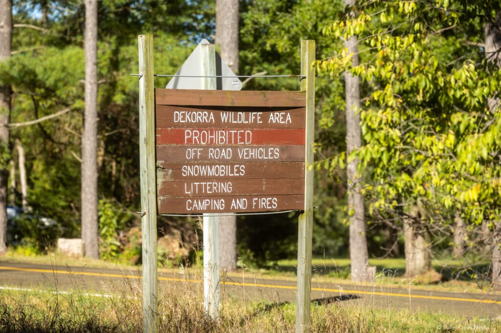
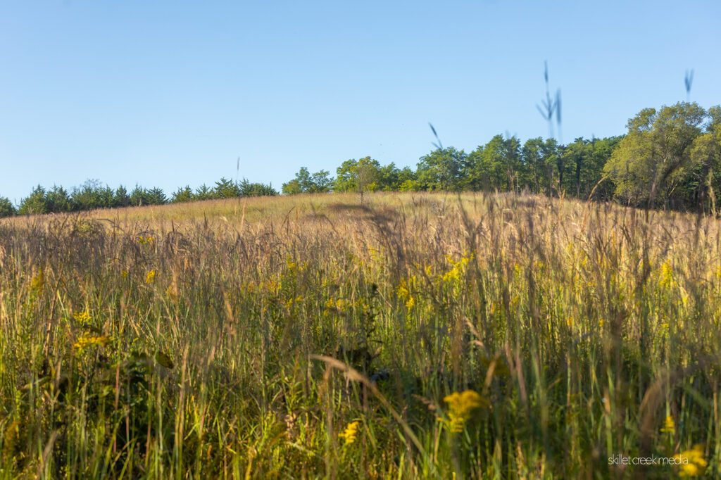
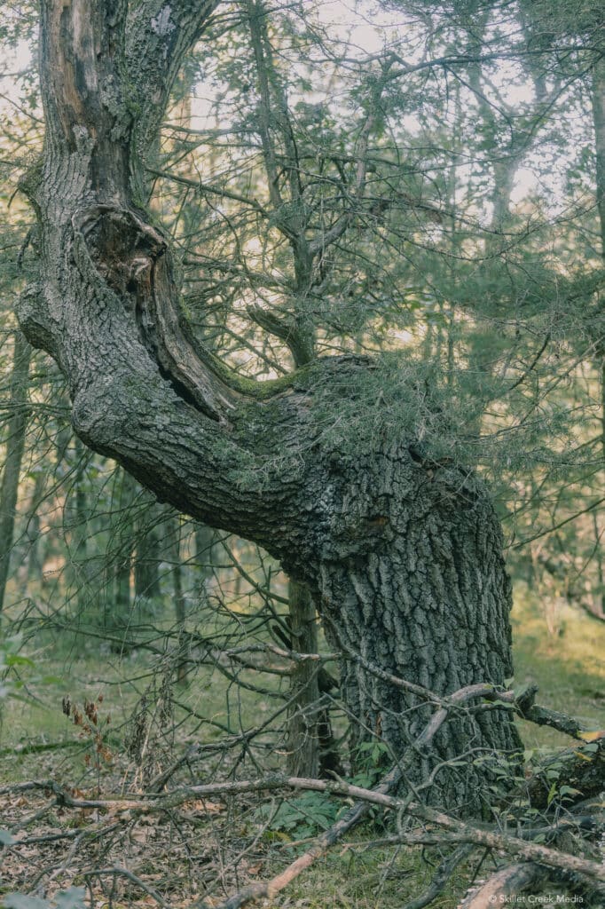
From the parking lot, you’ll see a wetland to your left as you start working your way up through a mixed oak and pine forest. (Did we find a marker tree??) As you gain elevation, you’ll notice the pines giving way, leaving you in a predominantly oak woodland. (It’s easy to see signs of landscape restoration throughout the property.) The forest opens up as you reach the top of the bluff. Reaching the top, you’ll find yourself along a beautiful and open tall grass prairie. The star of the show here is the Big Bluestem grass, standing proud at 6 feet tall. The grass often falls across the path making hikers wade through a golden-green sea of grass to follow the trail. The path eventually turns east, offering you a view of the interstate highway in the distance at the bottom of the hill. It’s a reminder of the world you’ve left behind, but mostly, it doesn’t intrude on the peace you’ve found here.
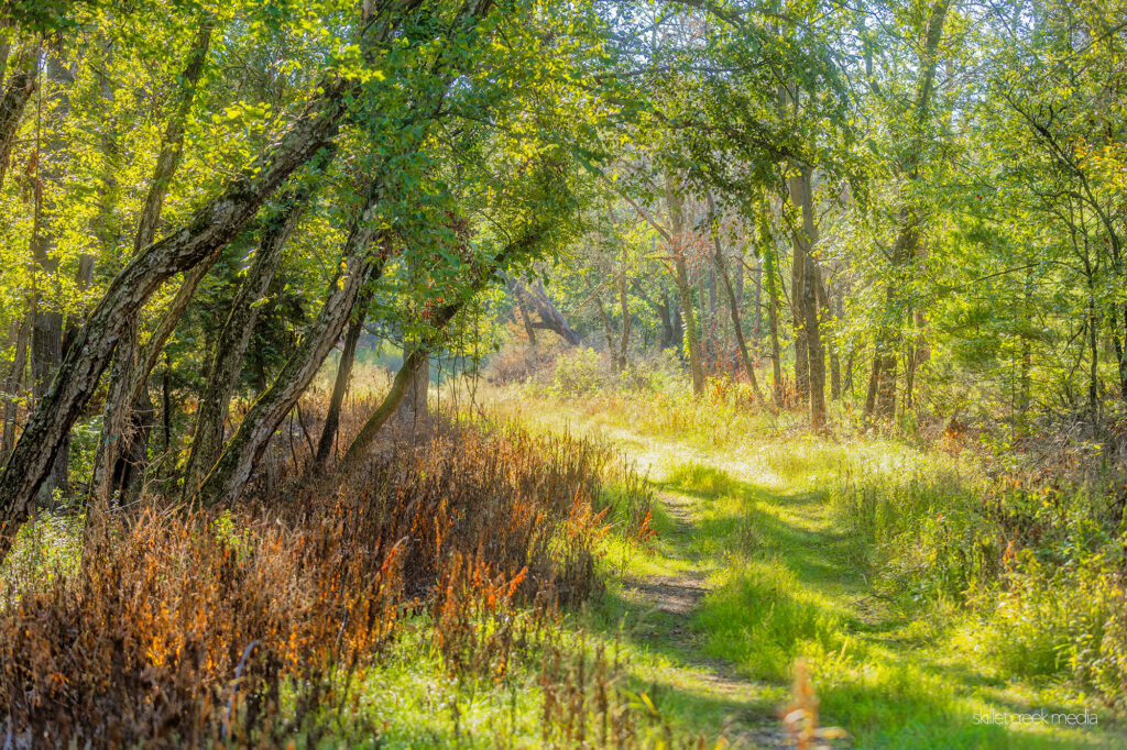
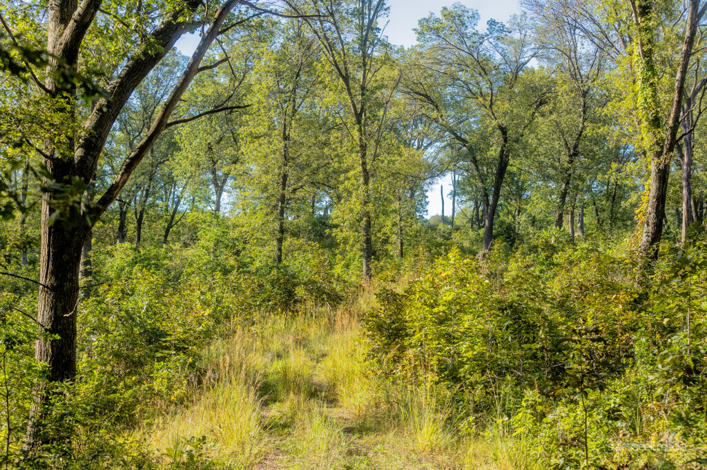
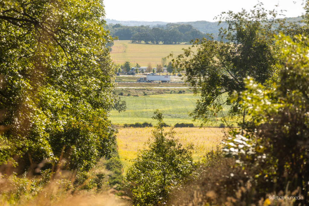
When you reach the bottom of the hill, you might feel a bit lost as the trail fades into tall grass. As you look around, you’ll realize that to your left, you’ll see the backside of the interstate rest stop! If you’re looking for a quick restroom break, you’ll have a long walk to get around the fence!
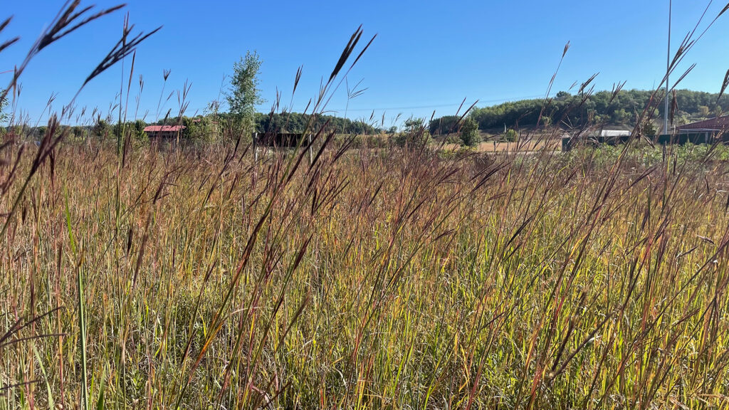
From the bottom of the hill, you should still see tracks through the grass to your left. Follow them, heading north and keep an eye to your left. Eventually, you’ll come to a tree line. Look west (that’s left) for the trail/road to begin climbing back up the hill. Follow it back up, and you’ll connect back up with the main trail. A right turn here will bring you full circle, back to your car.
This uniquely beautiful property is a patchwork of landscapes – about 15 acres of wetland, 46 acres of upland, and 165 wooded acres. There’s an access road that, if followed, takes hikers on a 3-mile loop through the property. It’s like a sampler platter of Wisconsin’s natural beauty.
The beauty and tranquility of the Dekorra Wildlife Area is sure to leave a lasting impression. Whether you’re seeking a peaceful hike, a birdwatching adventure, or just a chance to immerse yourself in nature, this property has something special to offer. So grab your map, pack your gear, and get ready to uncover a new favorite outdoor destination.
Have you hiked the Dekorra Wildlife Area? Any tips?
More Information
- Dekorra Public Hunting Grounds – Wisconsin DNR
- Dekorra Property Map – Wisconsin DNR
- Public Access Land Publications – Wisconsin DNR
- Google Map To Parking

For nearly 2 decades the Skillet Creek blog has focused on 3 main goals; To inspire you to visit and explore the Devil’s Lake region, to help you get the most your visit by sharing tips, events, and other helpful information. Lastly to advocate for our environment & wildlife and talk about how we can keep our natural areas amazing now and into the future! That last goal can sometimes cause controversy, but it’s the only way we can accomplish the first two. – Derrick Mayoleth, Owner.

