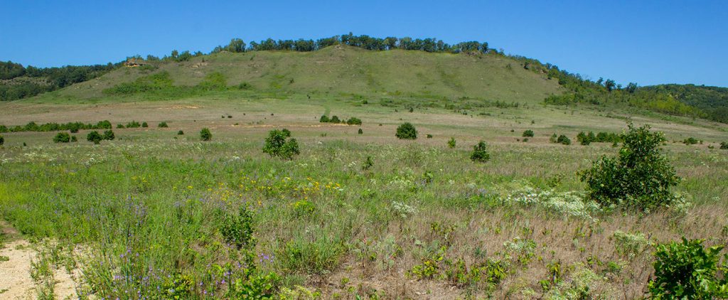
Just north of Spring Green and about 45 minutes southwest of Baraboo, there is still a small slice of true prairie located within the Spring Green Preserve. The preserve is owned by The Nature Conservancy and protects just over 1,000 acres of what was once a 13,000-acre dry prairie. The area is sometimes called the “Wisconsin Desert” which makes sense if you see the huge swaths of wavey sand barrens spotted with cactus in historic photos. Today the cactus still exist, but for the most part, the land has filled in with tall prairie grasses and small colorful flowers that dot the ground in flecks of purples, whites and yellows.
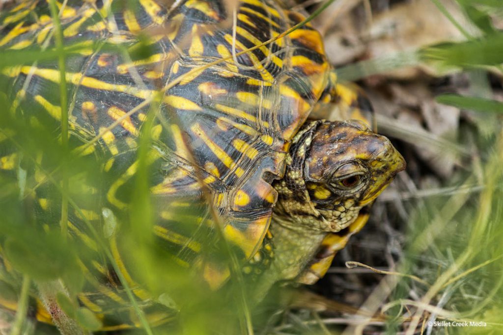
Why Go? See lots of cactus! Great views from the top of the bluff. Enjoy a hike through a sandy, grassy prairie where you may see turtles snakes and lizards.
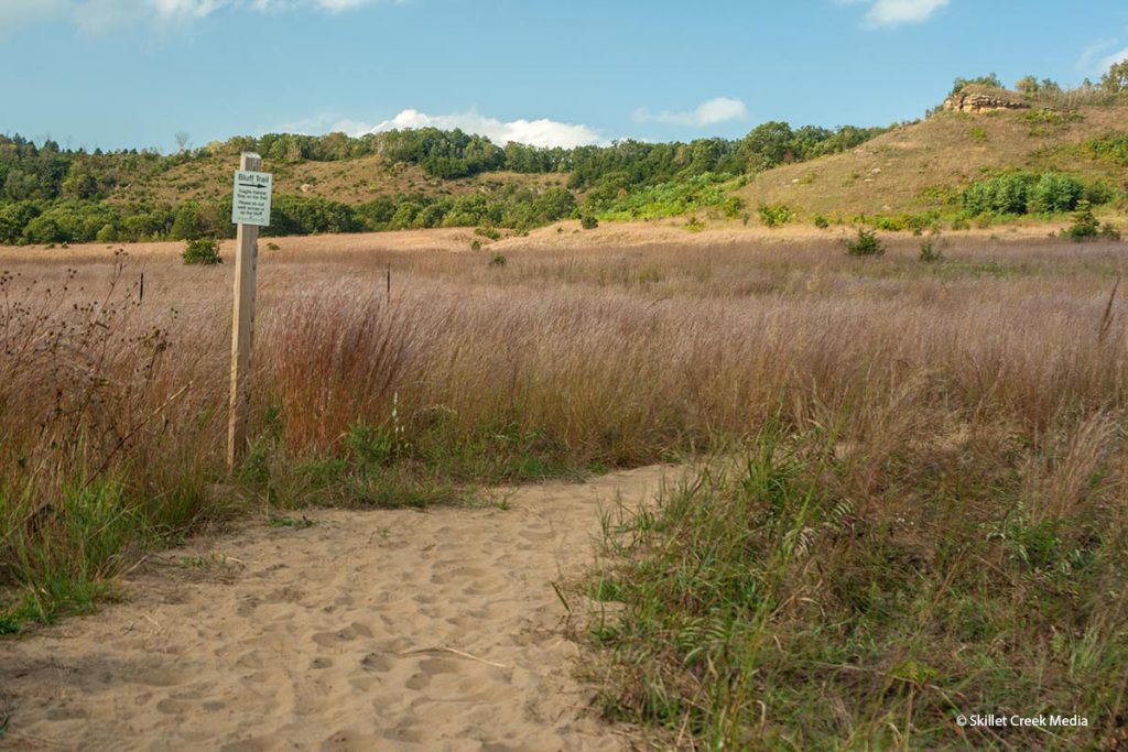
Description: The Spring Green preserve is somewhat divided into 2 sections. The more popular eastern section includes a 1.6 mile trail through the prairie to the top of a grassy bluff. The western section is harder to access with no hiking trails.
Eastern Section: The most dominant feature of this portion of Preserve is the barren bluff faces that stand on the northern border. This is one of the few places left in Wisconsin where you can see the bluffs as they would have greeted settlers over a century and a half ago before the forests grew in and covered the bluffs. At its base, is a sandy prairie covered in tall grass disguising what was once a much dryer desert-like terrain. You’ll still find prickly pear cactus growing throughout the preserve. A 1.6-mile trail leads you from the parking area to the top of the bluff.

Western Section: The western section of the preserve is also dominated by a grassy bluff on its west, but the hills turn more forested as you head east. From the best access point on Pearl Rd, you need to work your way around a private sand pit and find your own way into the preserve from there. The terrain is very similar to the eastern section, but with no trails to follow it can be quite challenging to explore.
When you go: Finding the preserve can be a bit tricky. While the barren bluffs can be seen from some miles away, drivers need to connect with “Jones Road” to get to the eastern section of the preserve. (The one with a hiking trail) which runs east to west below the range. From Highway 60 north of Spring Green, you turn north on Davies Rd just about a half mile from the intersection of 60 & 14. From Highway 14 turn north on Hwy 23, then travel about a half mile before turning right on Jones Rd. Then go just under a mile to find the preserve. The preserve & parking area are marked with a sign but otherwise is easy to drive right by. (See map below.)
To get to the western section, get on Hwy 23 north from Spring Green and turn onto County Rd G, and go about a mile to Pearl Road. Take it north until it dead-ends at a gate. You’ll have to park in the tall grass and avoid blocking the gate to the sandpit.
More Photos
East Trailhead 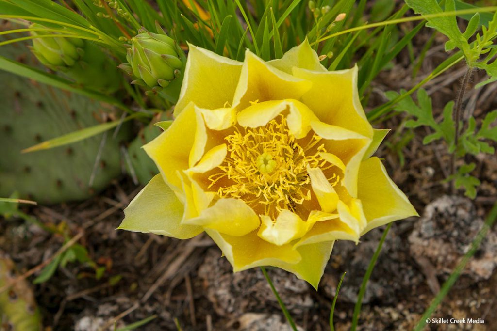
Cactus Flower 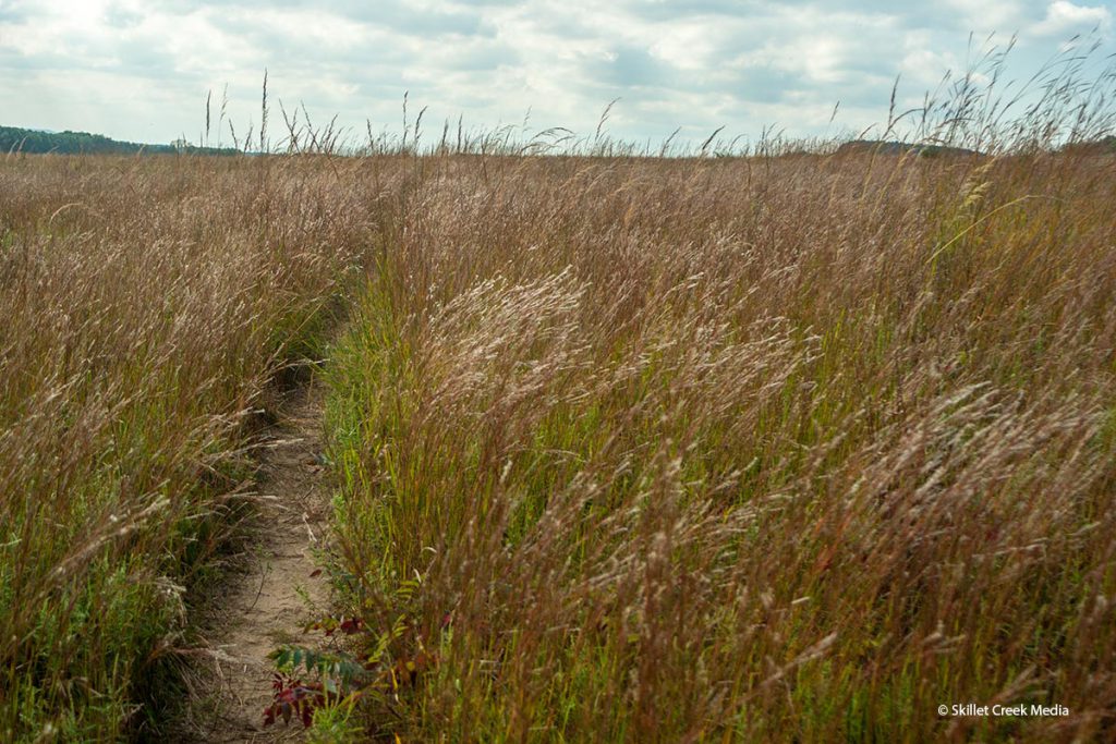
Prairie Trail 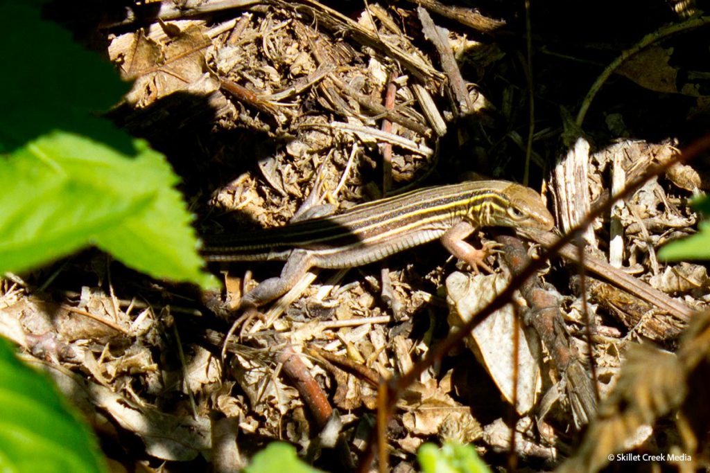
5 lined Skink 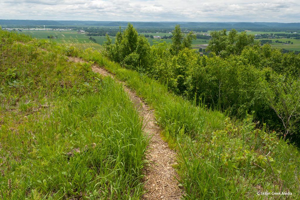
Ridge Trail 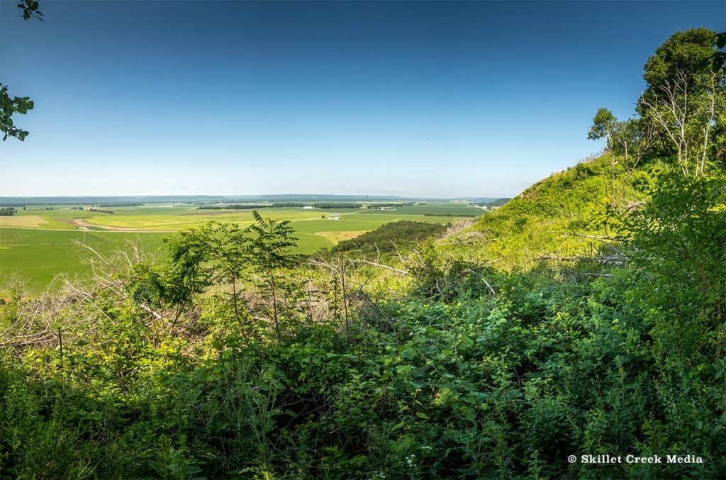
Western Visita 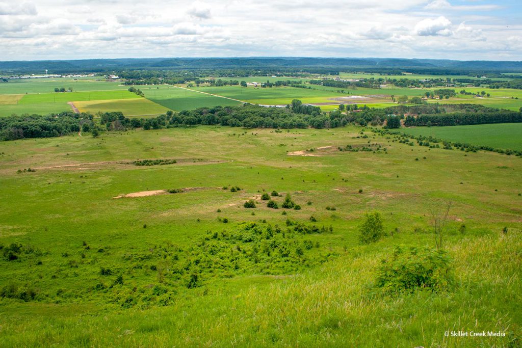
Eastern Vista 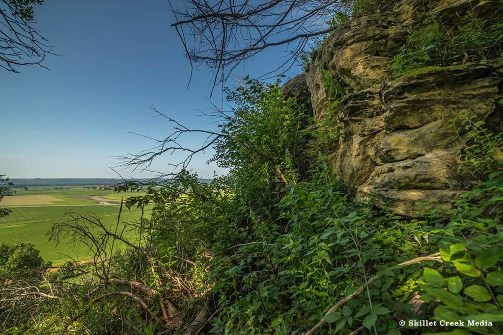
Wild West Overlook