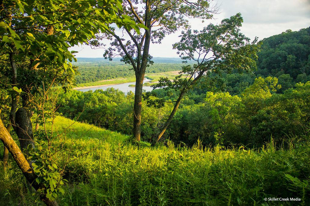
Ferry Bluff State Natural Area is located about 5 miles west of Sauk City, about a 25-minute drive from Devil’s Lake State Park. The natural area encompasses two small bluffs, Ferry Bluff and the adjacent Cactus Bluff, which both rise just over 300 feet above the Wisconsin River directly below. The base of Ferry Bluff also housed a Civil War-era ferryboat landing. Ferry Bluff is owned by the DNR and was designated a State Natural Area in 1988.
Why Go? People visit Ferry Bluff for two main reasons: A small canoe/kayak boat launch offers quick paddling access to the Wisconsin River, and a short (but steep) hike up to the top of the bluff offers dramatic views down the Wisconsin River valley. When the river level allows, there is also a small sandspit along the shore below the bluff that is sometimes used for fishing or picnics.
When You Arrive: You enter Ferry Bluff State Natural Area from Hwy 60 out of Sauk City. Turning onto Ferry Bluff Road, you will follow the single-lane, gravel road just over a mile to a small parking area at the end. The parking area can hold 4-5 cars. Cars often line the road on busy days and it can be hard to turn around when it’s busy. The trailhead starts from the parking area.
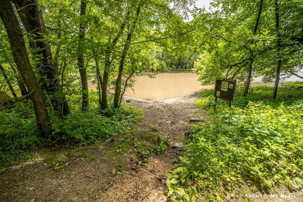
Paddlers: Paddlers will have to carry their boats down a short slope to launch out into Honey Creek, which leads into the Wisconsin River. The current flows to your right, taking you southwest toward Spring Green.
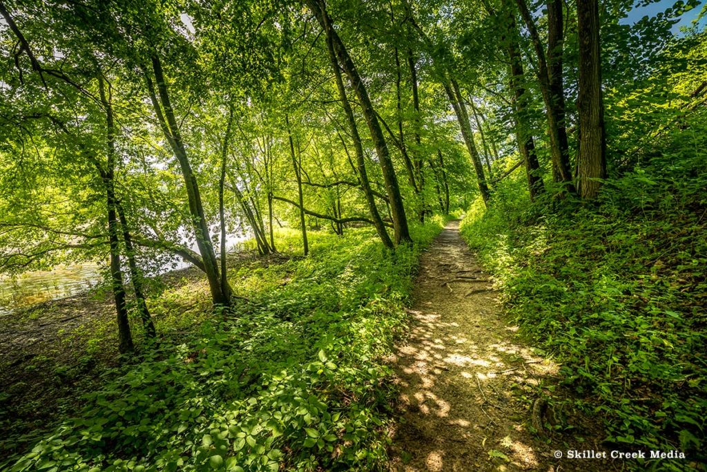
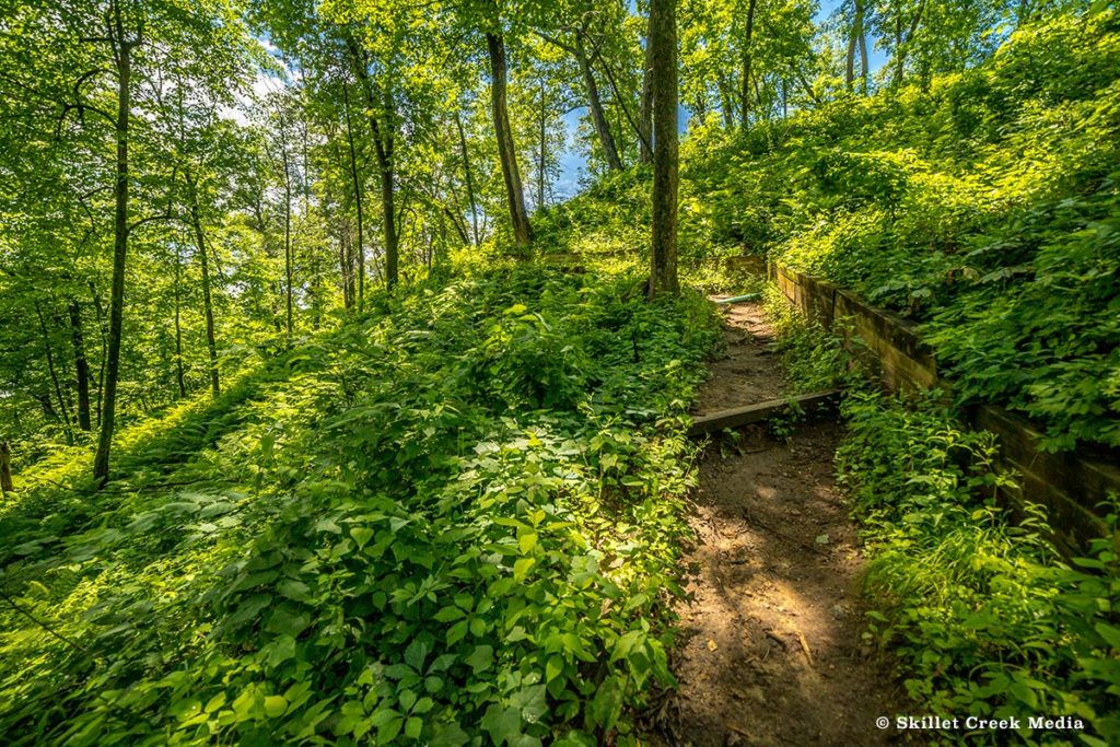
Hikers: Hikers will find a well-marked trailhead. A short trail (less than half a mile) will lead you around the foot of Ferry Bluff, where you will see a side trail which will take you down to the bottom of the bluff along the river. If you continue on the main trail, you will begin your way up a fairly steep (20% grade) and switchbacked path to the top of the 300-ft Cactus Bluff.
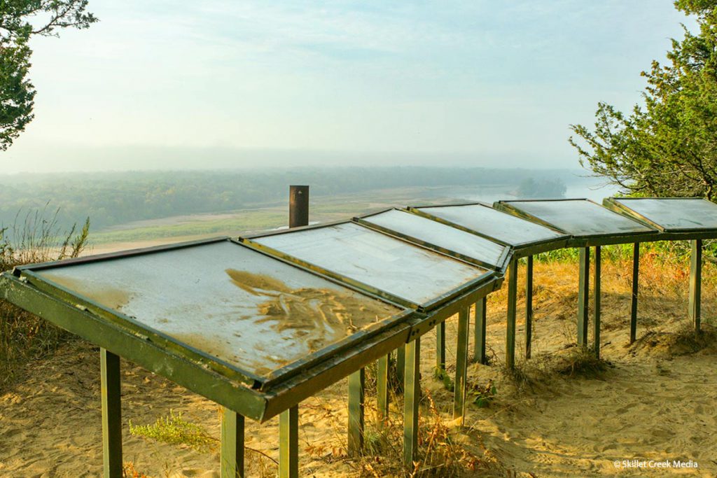
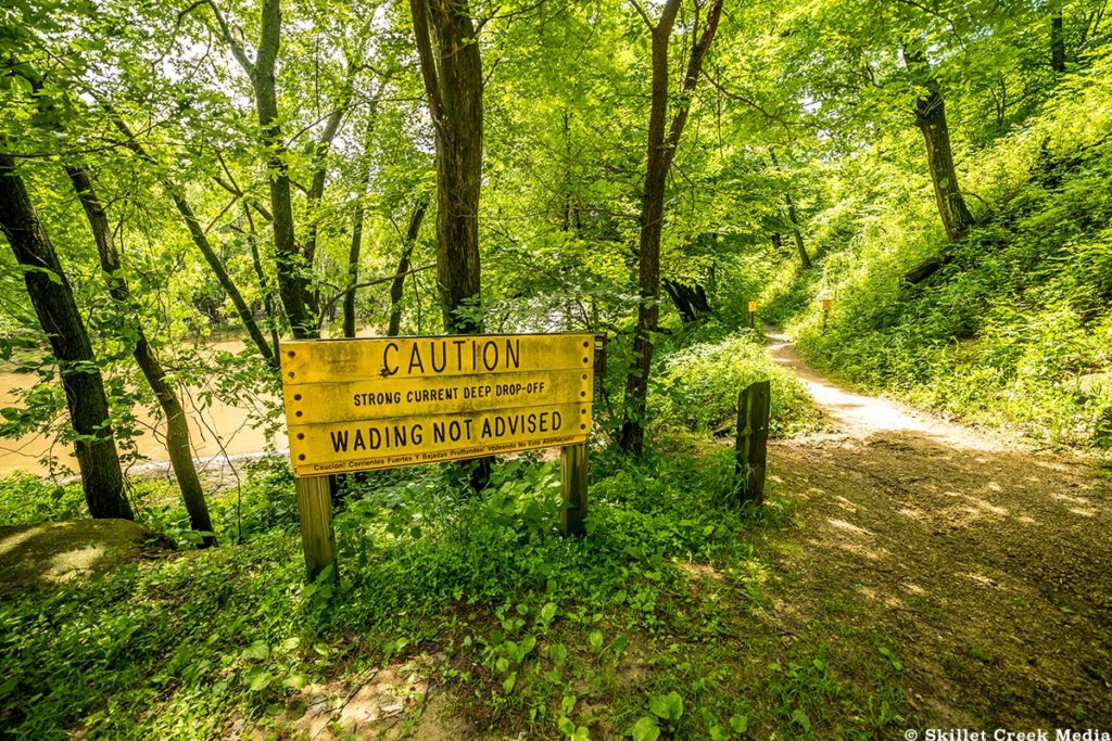
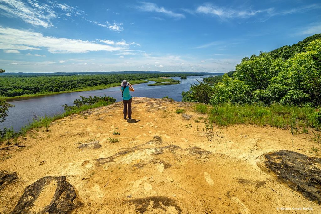
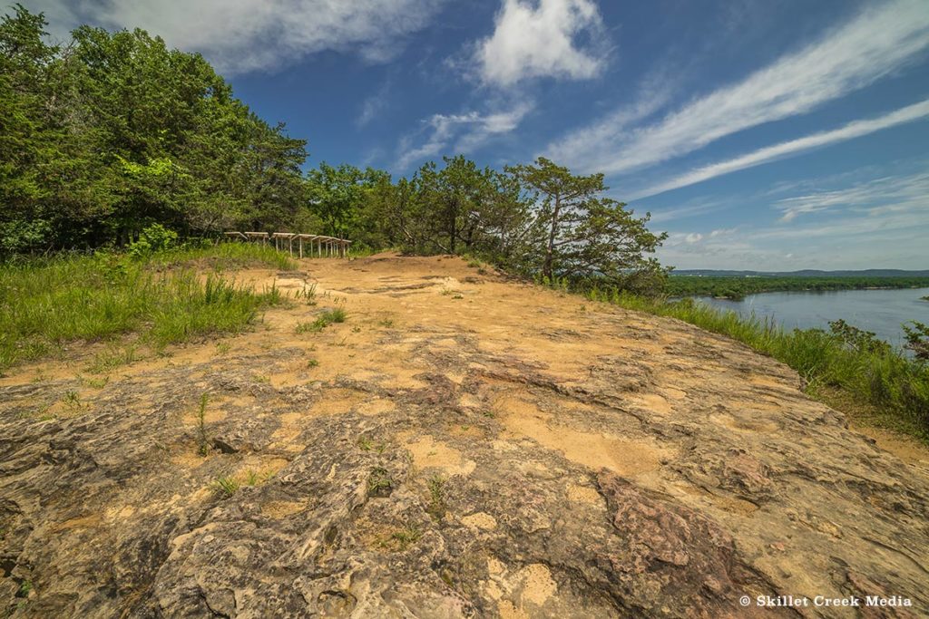
At the top of Cactus Bluff there is an overlook with a half-moon of informational boards. It is recommended to stay behind this presentation area, however, the temptation is to walk around them to get a better view over the cliff’s edge and to see more of the distant horizon. It’s certainly a risky venture and should not be taken lightly. (A fall could be deadly and EMS is a long way off.) From the overlook you can see for miles in most directions. The river valley below is simply amazing.
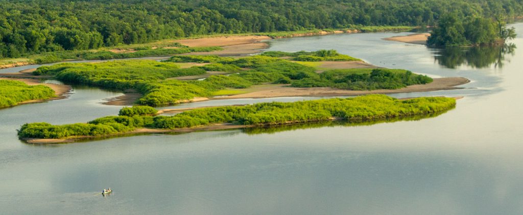
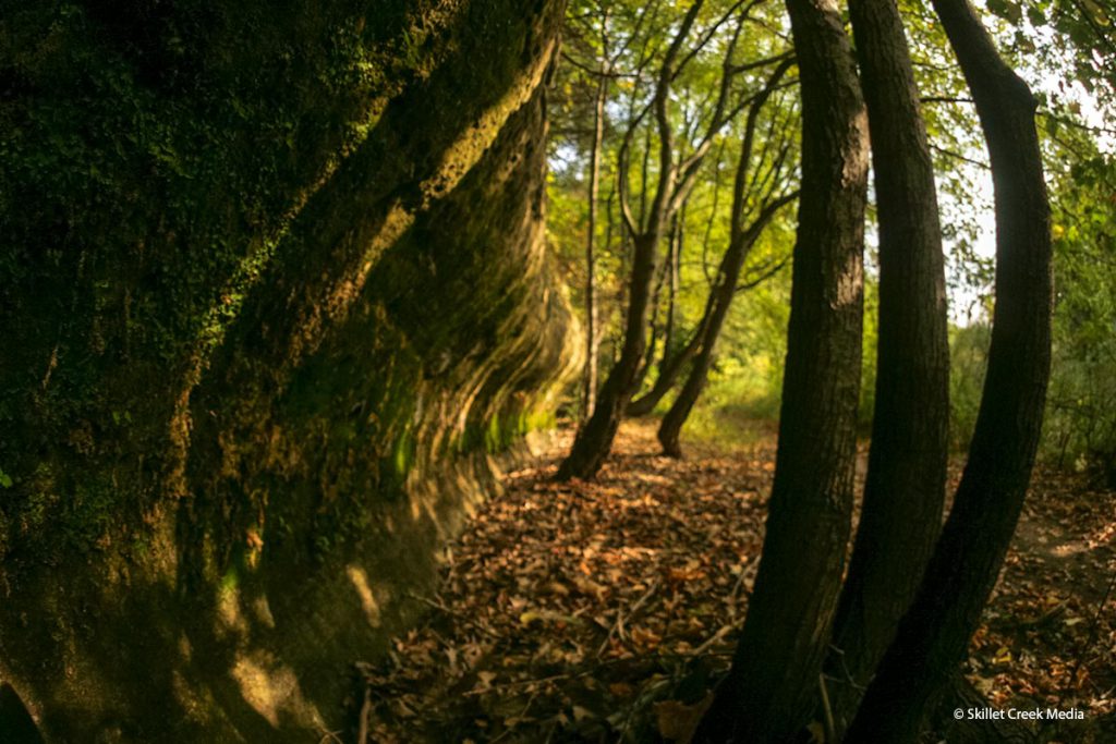
The lower trail that takes you to the foot of Cactus Bluff will lead you through a bit of forest and along the eroded cliff base. Here you can see how the power of the Wisconsin River has shaped the sandstone over the millennia. Depending on the time of year, or more specifically the river’s height, you may be able to walk out onto an open sandbar where you’ll have an amazing view both up and down the Wisconsin River.
Ferry Bluff Natural Area is another wonderful, little out-of-the-way gem. The views of the Wisconsin River flowing through the mostly undeveloped land are a rare and breathtaking sight. It’s certainly worth the drive.
