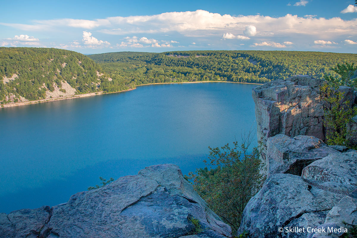
Devil’s Lake State Park has over 29 miles of hiking trails of varying distances and difficulties. You’ll find detailed descriptions below. Click on the links for further information including photographs.
Color Coded For Trail Difficulty Levels
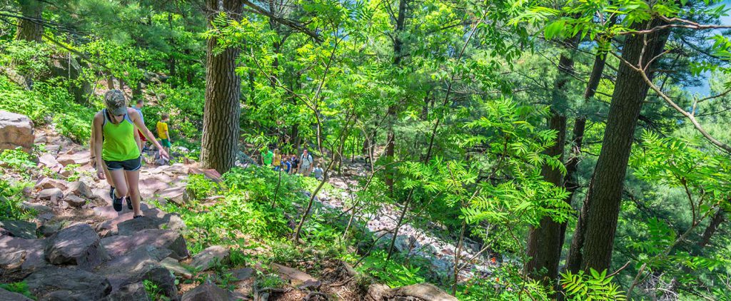
RED – Difficult
Yellow – Moderate to Difficult
Green – Easy to Moderate
Balanced Rock Trail
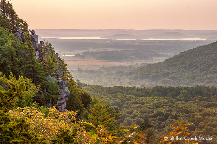
A difficult, steep, climbing trail with stone steps on the south face of the East Bluff. Spectacular views of Devil’s Lake with the Balanced Rock formation off to the south of the trail. (.4 mile, approximate hiking time 1 hour)
CCC Trail
A difficult, steep, climbing trail with stone steps on the south face of the East Bluff with many scenic views. (.3 mile, approximate hiking time 1 hour)
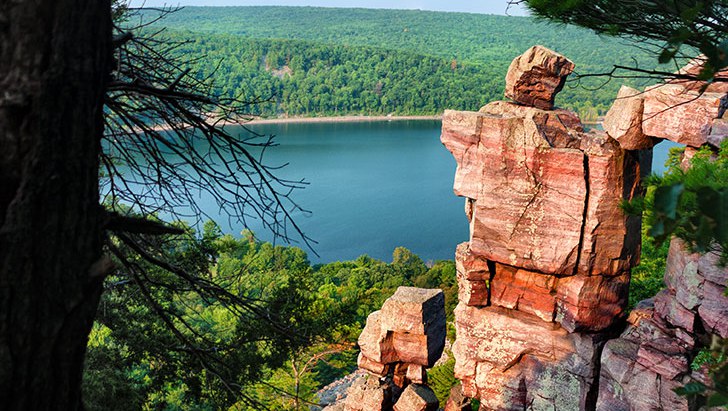
Devil’s Doorway Trail
Side trail off of the East Bluff Trail with stone steps to the Devil’s Doorway rock formation. (.5 mile, approximate hiking time .25 hour)
East Bluff / Ice Age Trail
A medium effort trail that is asphalt with stone steps as it winds back and forth between the edge of the bluff and the adjacent woods. Goes to the top of the East Bluff for many scenic views and drop-offs. Elephant Cave and Elephant Rock are at the north end. (1.7 miles, approximate hiking time 1.25 hours depending on route)
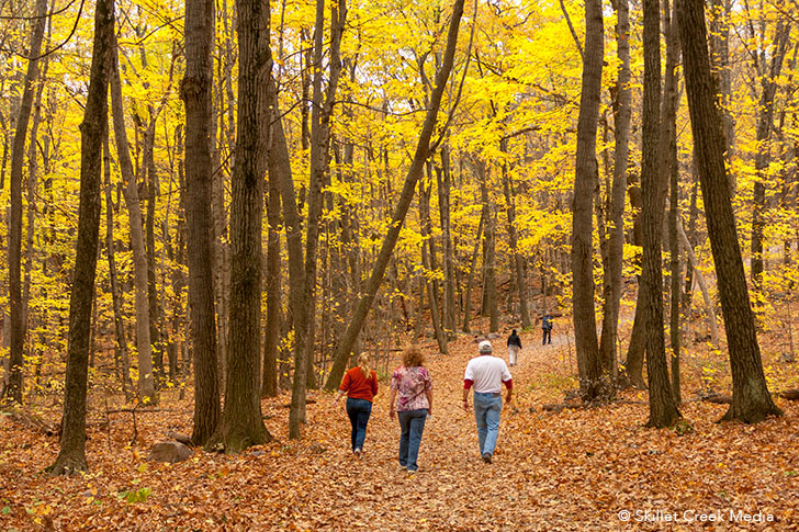
East Bluff Woods Trail
An easy-medium mostly gravel trail with one steep grade on the East Bluff between the North Shore. Entirely in the woods. (1.3 miles, approximate hiking time 1.25 hours)
Grottos Trail
A wide, easy-going, compacted travel path along the base of the south end of the East Bluff connecting Balanced Rock Trail, Potholes Trail, and the CCC Trails. (.7 mile, approximate hiking time 1.25 hours) Accessible from Group Camp parking lot. On a hot summer day, walk down into a grotto for a cool treat!
Group Camp Trail
Easy footpath from the outdoor group camp area to the south shore picnic and beach area. There is one staircase on this trail.
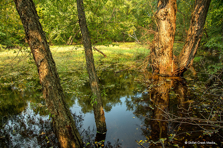
Johnson Moraine Trail
An easy, grassy trail with variable grades crossing County Hwy. DL twice. There are a number of kettle ponds and marshes in this area.
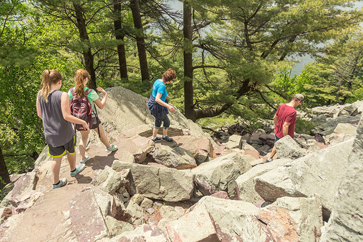
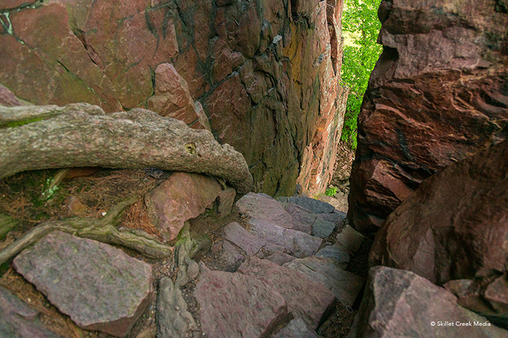
Potholes Trail
A very difficult, steep climbing trail with stone steps. Good views of the southern areas of the park can be seen. The trail travels through an amazing split in the rock face about 2/3 the way toward the top. A series of rounded, eroded, depressions or potholes are located near the top. It is wooded near the bottom. (.3 mile, approximate hiking time 2 hours)
Roznos Meadow Trail
The Roznos Meadow Trail can be divided into two sections. The meadow section is just over a mile and an easy, most flat hike. The second section climbs about 300 feet up the East Bluff to join the Uplands Trail. (1.8 miles, Time 2 hours)
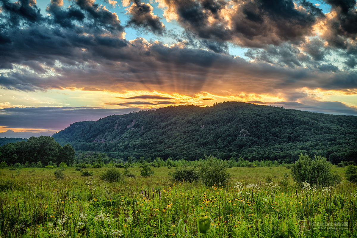
Sauk Point Trail
Part of the 1,000 mile Wisconsin Ice Age Trail, this medium-difficult wooded, grassy trail runs between Parfrey’s Glen and the Ice Age Loop. Highlights include spectacular views to the south and the Wisconsin River. (4.5 miles, approximate hiking time 3 hours)
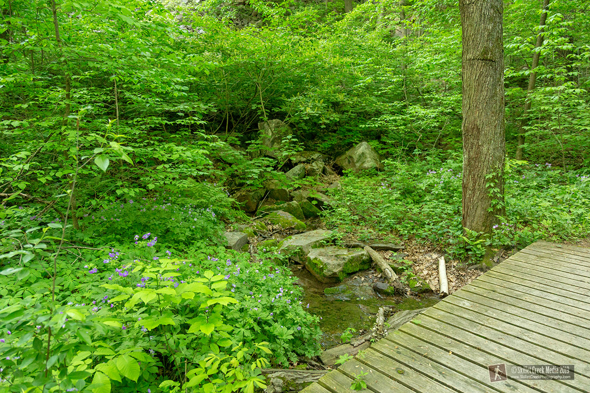
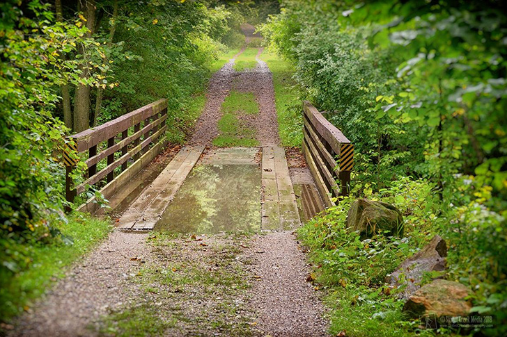
Steinke Basin Loop
An easy, level, grassy, wooded trail through an extinct glacial lake bed. Includes bridges and a variety of land covers. (2.5 miles, approximate hiking time 2 hours) Often muddy after periods of rain.
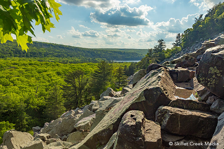
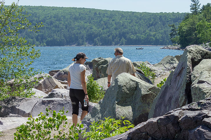
Tumbled Rocks Trail
Great views of the lake while walking a paved but uneven trail through a mix of fallen rocks (Talus) and pine forests. Hike between the north and south shore of the lake. (1.3 miles) Can be combined with the West Bluff Trail to create a loop.
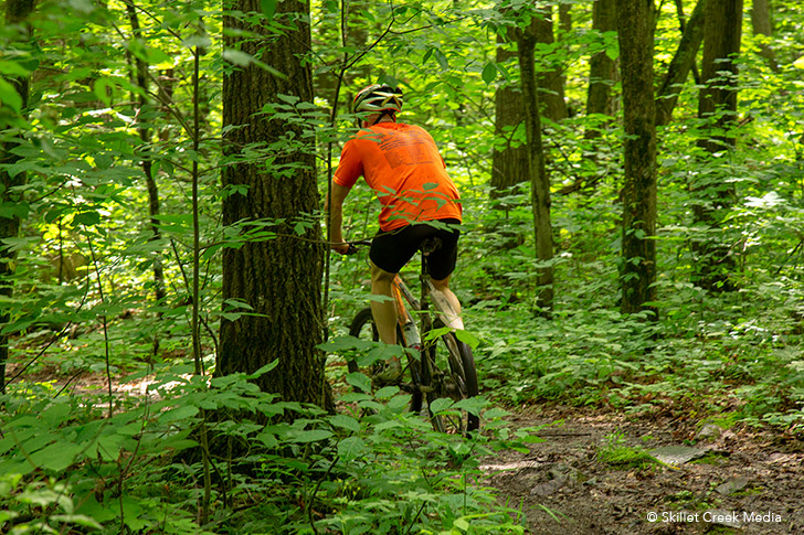
Uplands Trail
A medium effort hiking & bike trail that is long, winding, and grassy with variable grades through open areas and woods. The trail rises some 325 feet from the Steinke Basin Parking area, follows along the top of the east bluff offering scenic views at the south end, before once again descending into the basin. Some low-lying areas are often very wet and muddy. Hikers and cyclists share this trail and should be attentive, especially around blind corners. (3.8 miles).
West Bluff/Ice Age Trail
A medium effort trail that is asphalt with stone steps and a steep climb on the south end and an easier climb up the north end. Goes across the bluff top past drop-offs with many scenic views of the lake and park. (1.5 miles, approximate hiking time 1.5 hours)
** The Ice Age National Scenic Trail includes various portions of Devil’s Lake State Park trails totally about 13.7 miles.
Additional information concerning accessibility of trails can be obtained from the park staff.